
1 of 5
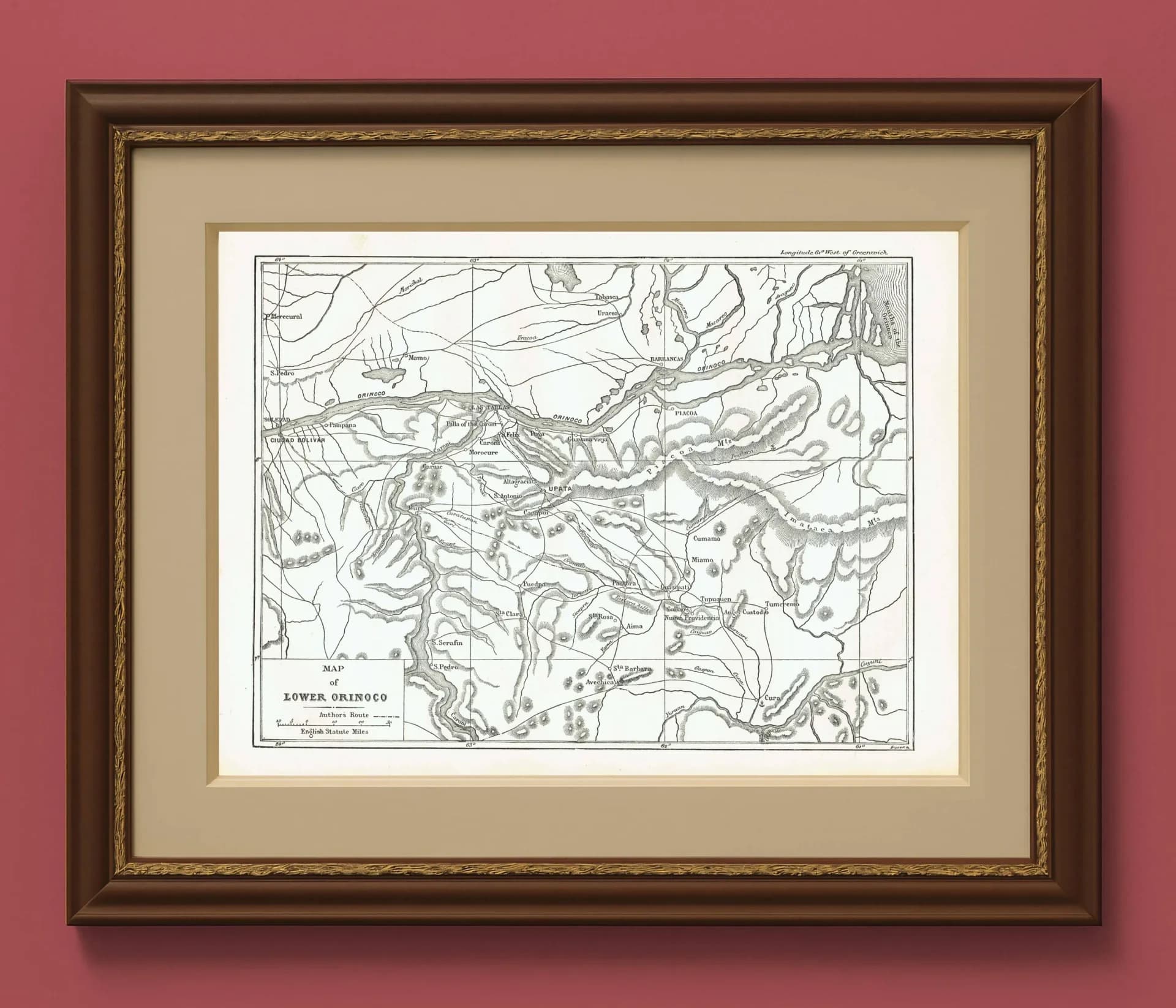
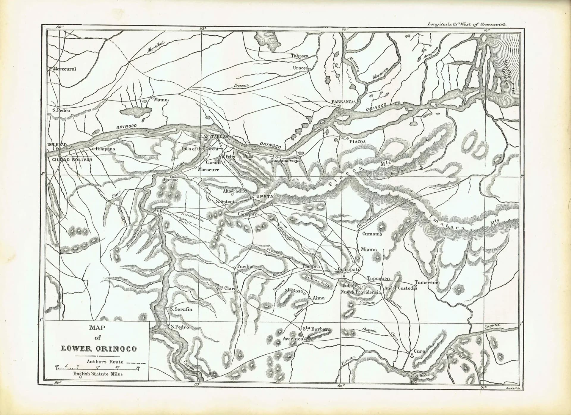
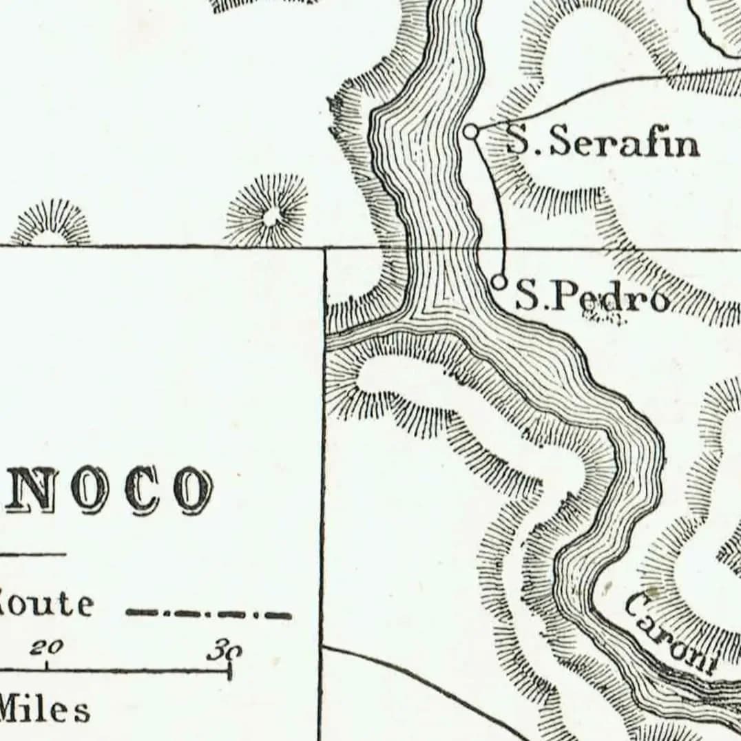
1870s Original Lower Orinoco River Map Woodblock Print - South American Geography - Victorian Travel Exploration - 12 x 8.5 in
Fascinating antique cartographic print showcasing the Lower Orinoco River region of South America. This print is titled 'Map Of Lower Orinoco' and originates from Illustrated Travels: A Record of Discovery, Geography, and Adventure, edited by H. W. Bates of the Royal Geographical Society and published by Cassell, Petter & Galpin between 1869-1875. Page measures 8.5 x 12 in.
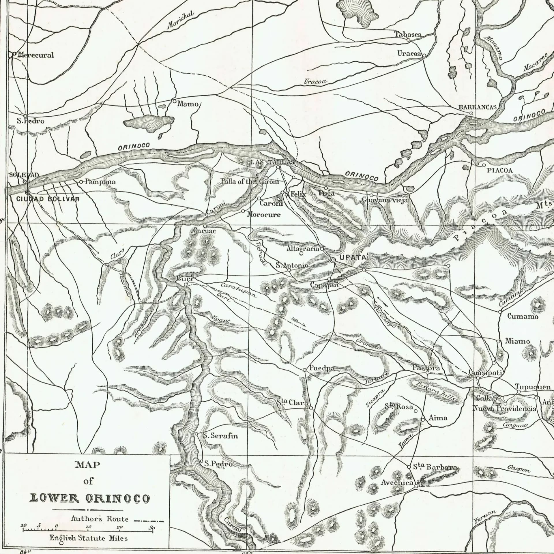
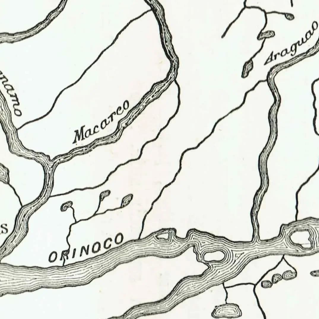
Detailed black and white print features intricate river systems, settlements, and topographical elements with clear place names throughout Venezuela and Guyana regions. Minor text show-through visible in borders only, not affecting the crisp cartographic detail.
Great for geography enthusiasts, South American history collectors, and Victorian exploration studies.
Visit https://www.etsy.com/uk/shop/ForestHillArtsHouse?section_id=53737739 for more Places prints.
**About Your Purchase**
- ORIGINAL print (never a reprint, reproduction, or copy).
- Sold Unframed.
- Copyright remains with Seller. No reproduction allowed.
**Condition** Good, consistent with age.
**U.S. Customers – No Tariffs or Fees**
- Classified as “informational materials,” exempt from tariffs and duty-free.
- Sent via Royal Mail Duty Pre-Paid—customs fees covered.
- Final price = checkout price. No extra charges at delivery.
- Delivery in 5–12 days. Valid email and U.S. phone number required at checkout for postage.
**Returns & Shipping**
- **Returns:** 14 days, same condition; buyer pays return postage.
- **Packaging:** Clear bag in board-backed envelope, reinforced with recycled cardboard.
- **Dispatch:** Royal Mail Tracked 24/48 (UK) & Tracked International.
- UK: 1–3 days
- US/EU: 5–12 days
- Rest of world: 7–21 days
Product Details
About This Print
This original places print dates from the 19th Century (1800s). Antique prints like this one offer a window into historical illustration techniques and the knowledge of their time.
Each print from Forest Hill Arts House is carefully inspected for condition and authenticity. We provide detailed provenance information and ship with protective packaging to ensure your print arrives in excellent condition.
Related Topics
antique mapriver cartographysouth americanvictorian printgeography studyexploration artorinoco basintravel history
Need a Custom Mount for Your Print?
We offer precision machine-cut picture mounts to your exact specifications. Choose from conservation-grade or standard mount board options.
Order Custom MountsRelated Products
You might also be interested in these prints

1871 Horses Crossing the Volga - Antique Engraving By Bates - Russian River Landscape Victorian Travel Scene - 11.5 x 8 in
11.5 x 8 in
19th Century
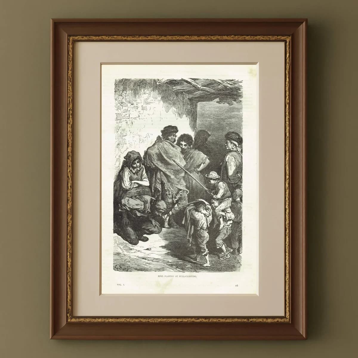
1870s Boys Playing At Bull-Fighting Original Woodblock Print - Children Portrait - Antique Victorian Travel Book Illustration - 8.5 x 12 in
8.5 x 12 in
19th Century
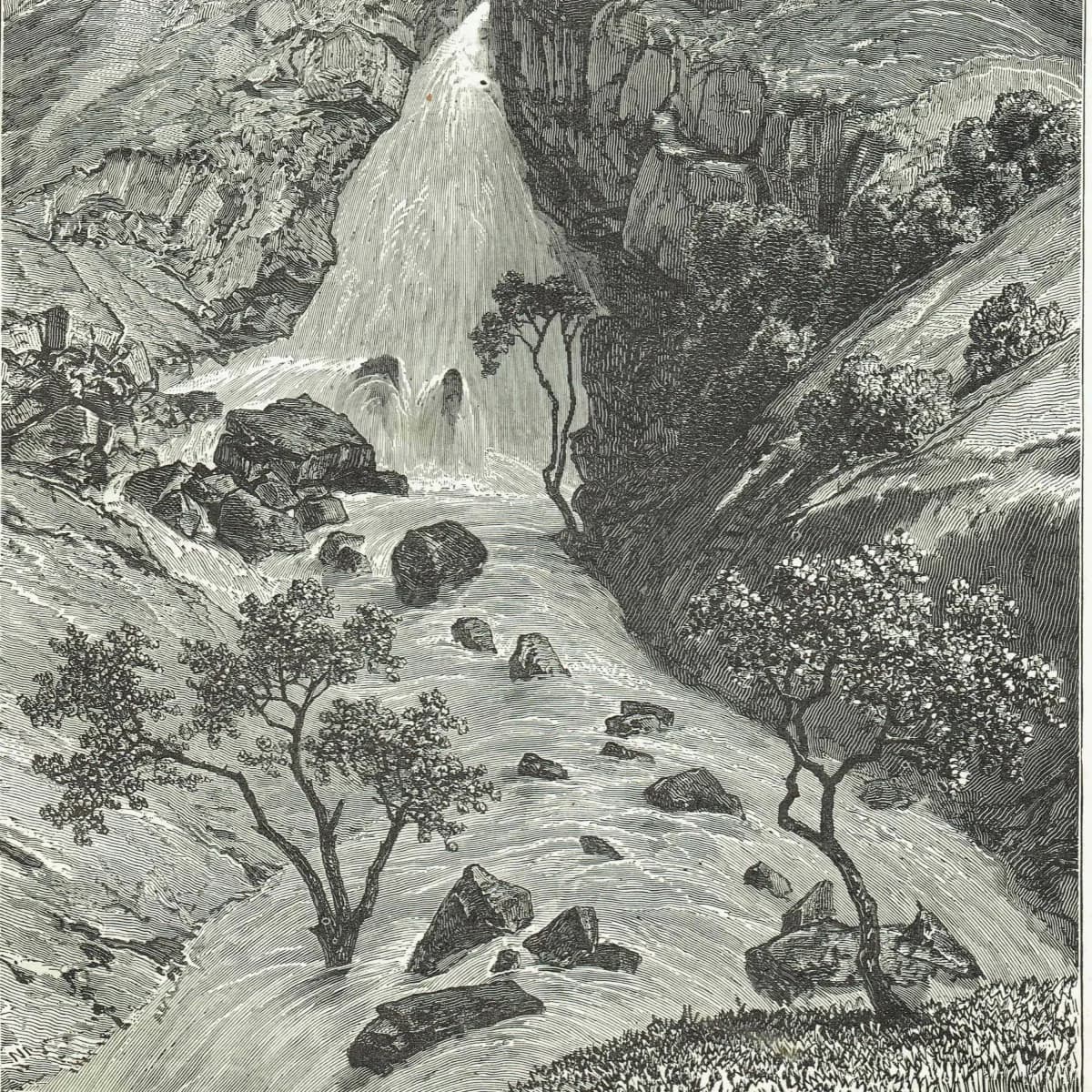
1869 Falls of Davezout Abyssinian Plateau - Original Antique Engraving - Ethiopian Waterfall Geography Adventure Travel - 8.25 x 11 in
8.25 x 11 in
19th Century
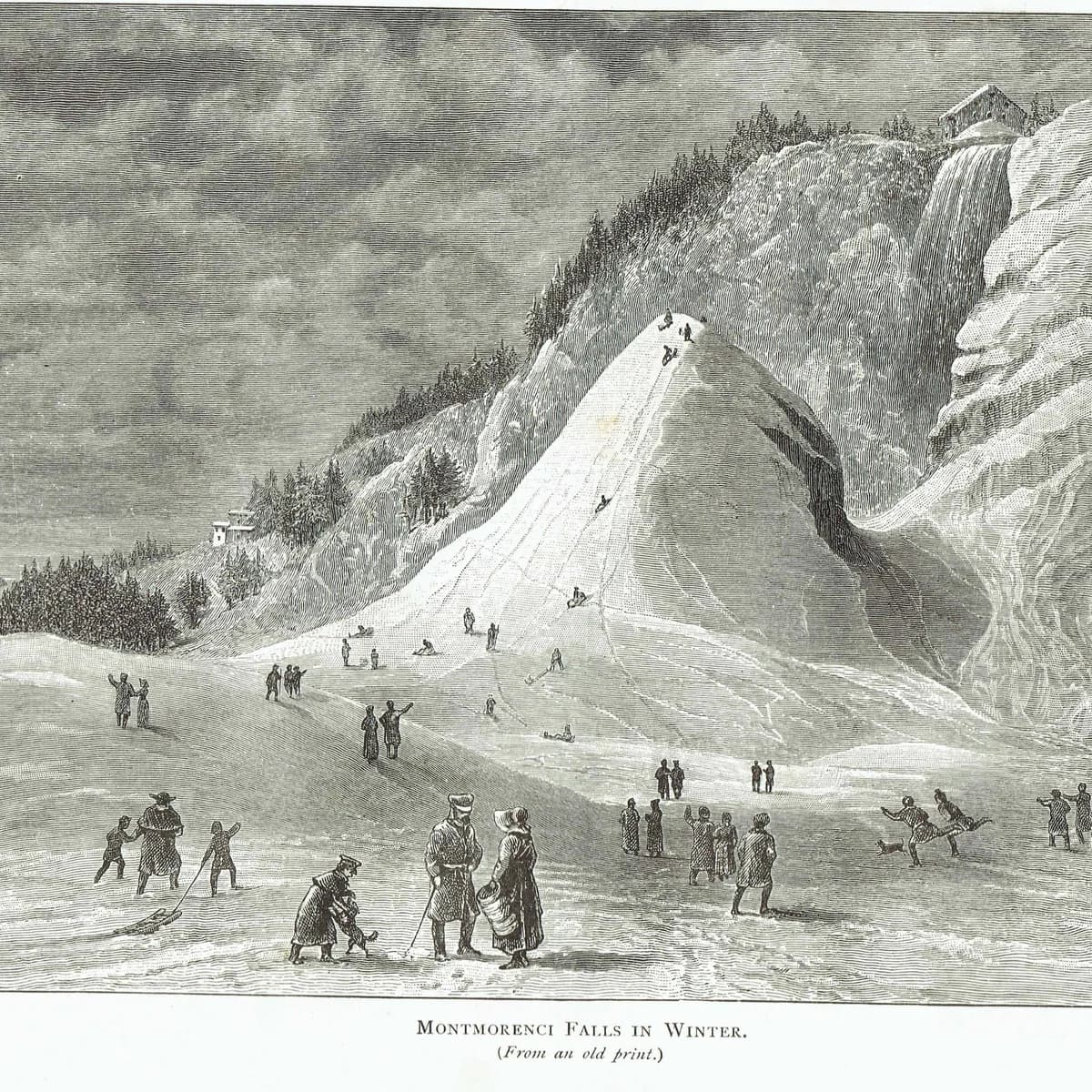
1885 Montmorenci Falls Winter - Antique Print - Canadian Pictures Quebec Landscape - 10.75 x 7.25 in
10.75 x 7.25 in
19th Century
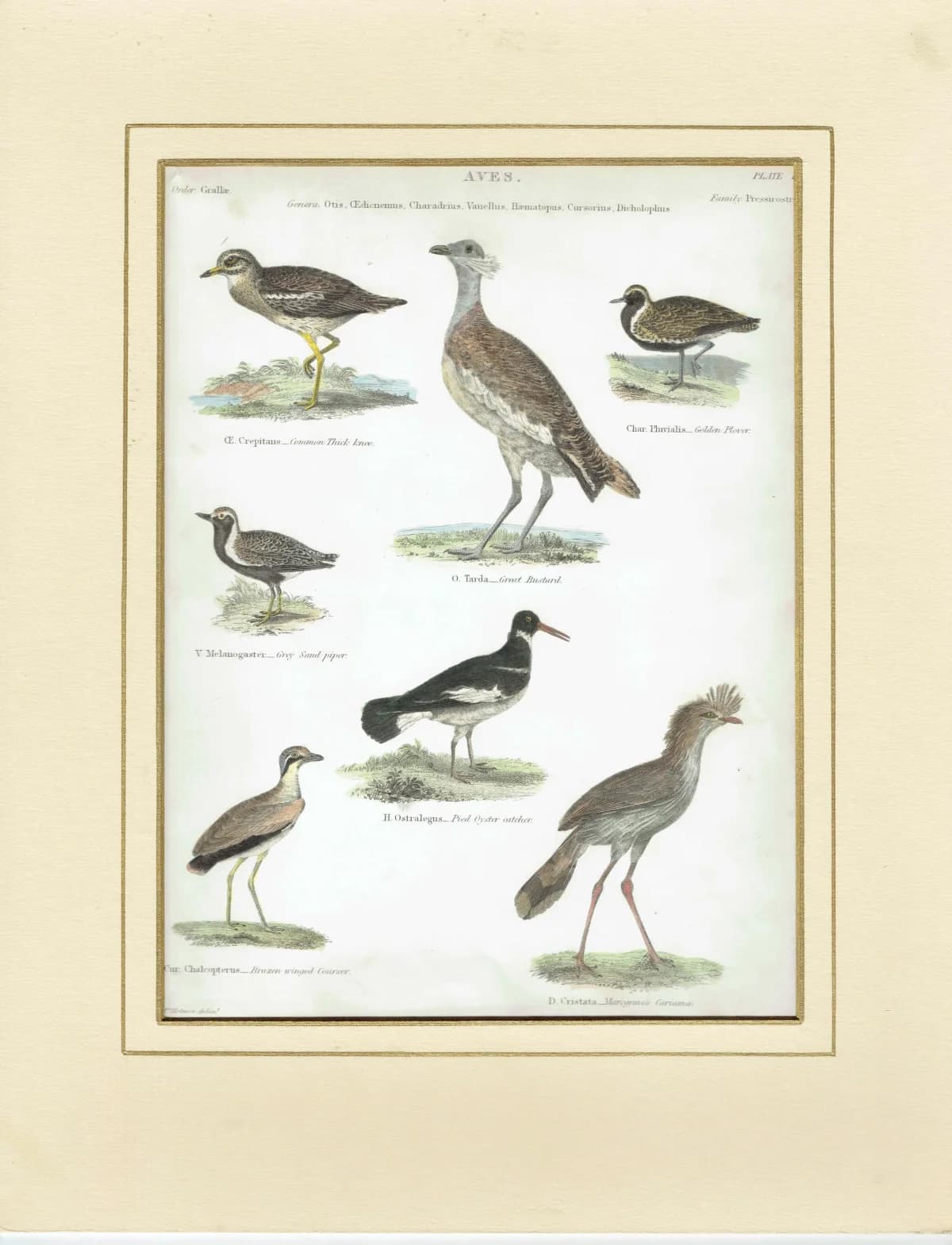
1838 Aves Plate 16 Hand-Coloured Ornithology Print - Common Thick-Knee, Great Bustard, Golden Plover & More - 10.75 x 8.5 in
10.75 x 8.5 in
19th Century
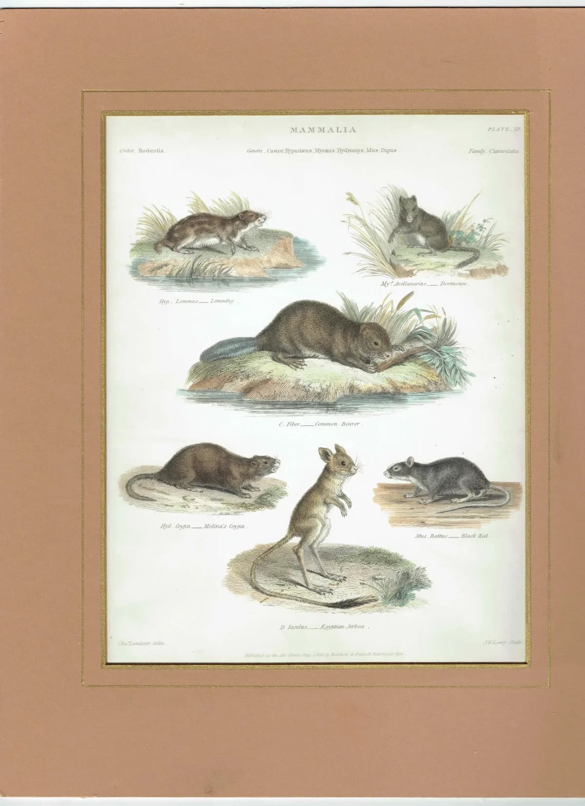
1833 Mammalia Print - Rodentia Rodents - Beaver, Lemming & Jerboa - 8.5 x 10.75 in
8.5 x 10.75 in
19th Century